Tag Archives: Maps

GIS Day in Review

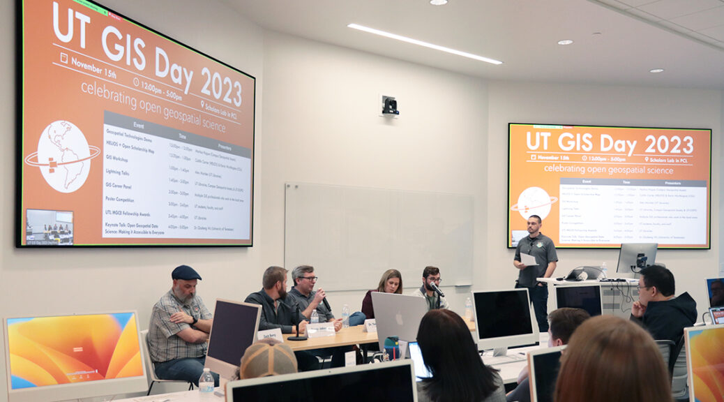
On November 15th, members of the campus community gathered in the new Scholars Lab in the Perry-Castañeda Library and on Zoom to celebrate UT GIS Day 2023 through a series of hybrid-format events which highlighted the diverse ways in which geographic information system (GIS) software and related geospatial technologies are being utilized in research and learning here at UT Austin.  This year’s event marked five consecutive years of UT GIS Day and set a new record for attendance and participation. Our UT GIS Day 2023 theme of “Celebrating Open Geospatial Science” was woven throughout the day’s events and allowed us to explore the work being done in this area here at UT.

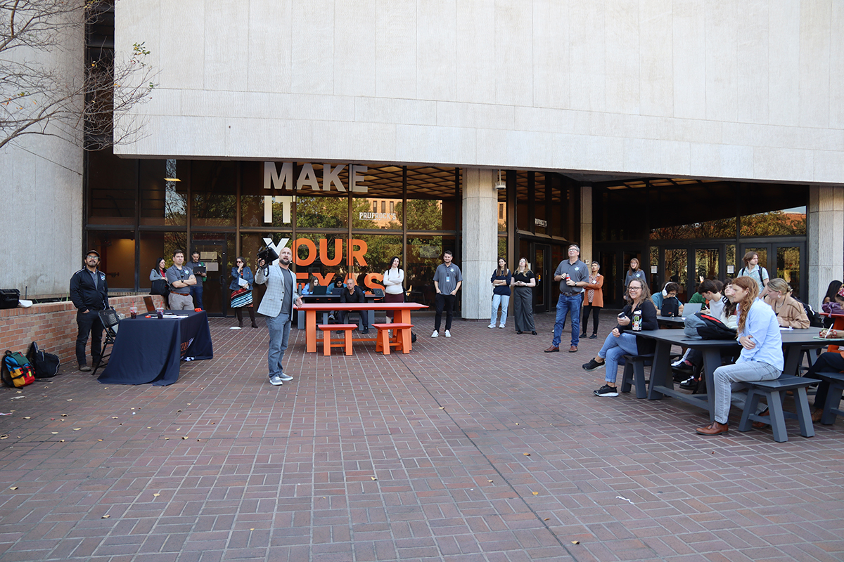
The day’s events began at noon with a drone demonstration from Markus Hogue (UT Campus Geospatial Assets) on the PCL Plaza and continued into the evening. In line with this year’s theme, invited experts Caitlin Carter (HELIOS) and Kevin Worthington (Colorado State University) highlighted the significance of open scholarship and reproducibility in geospatial science.

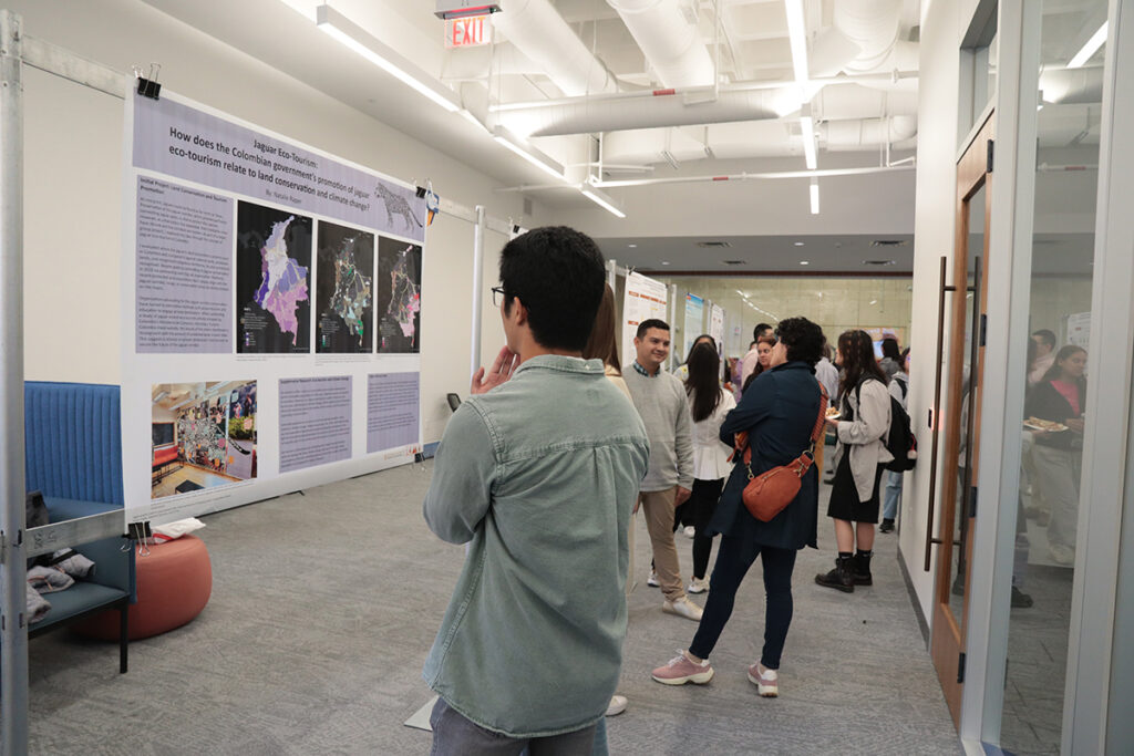
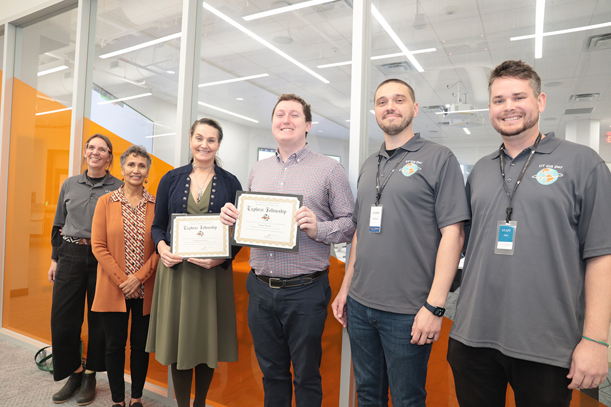
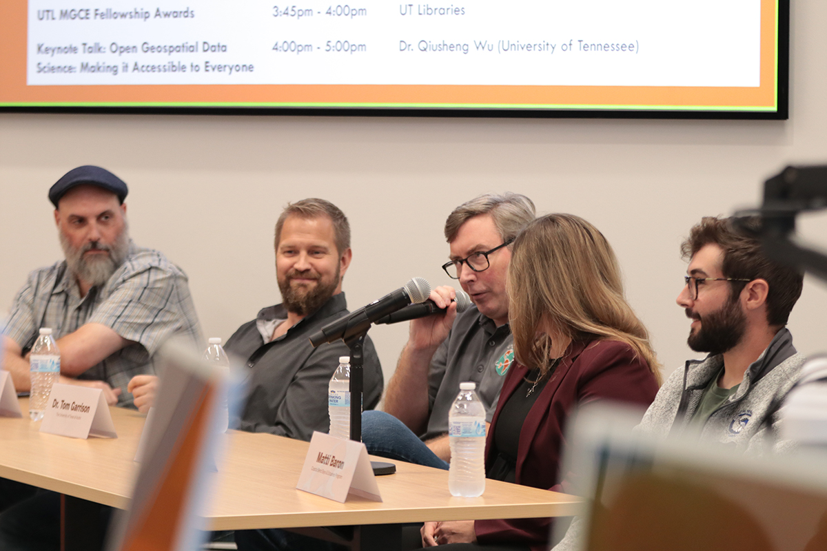
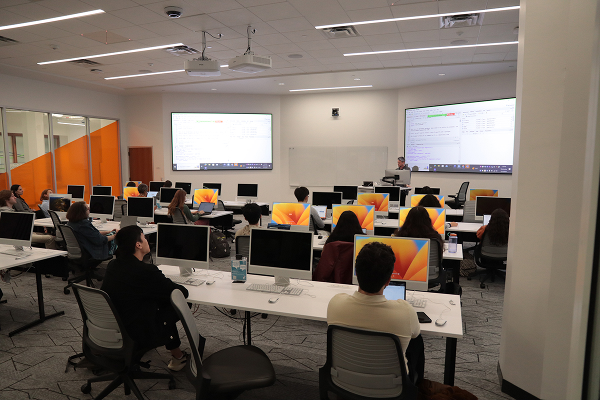
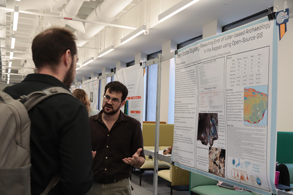
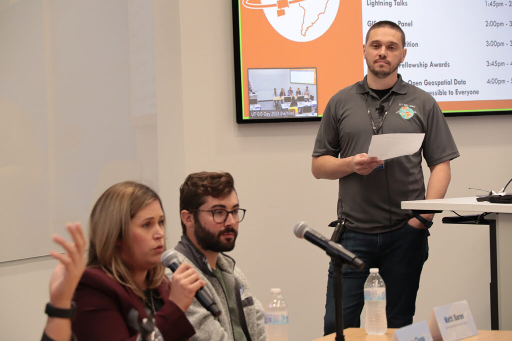
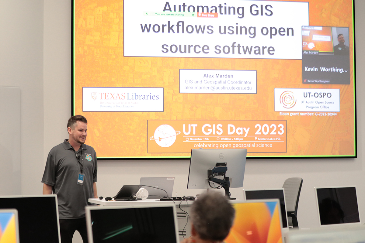
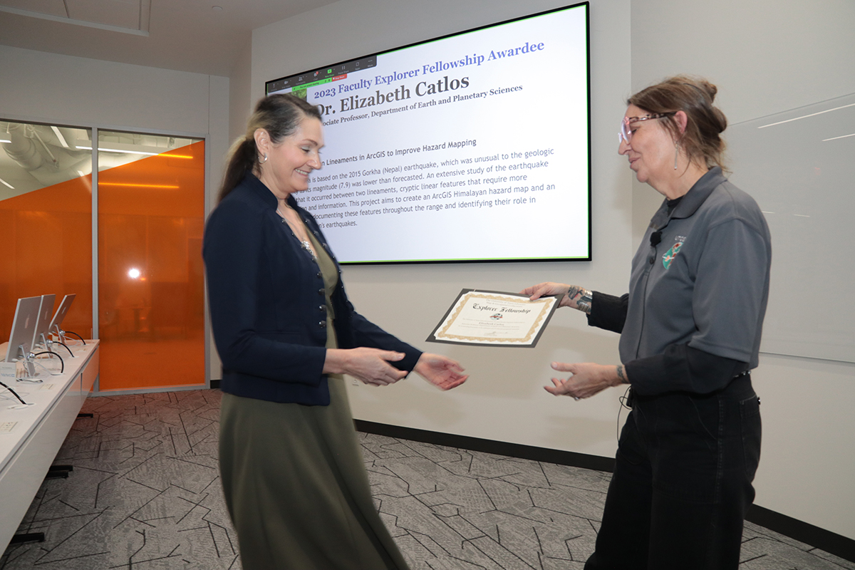
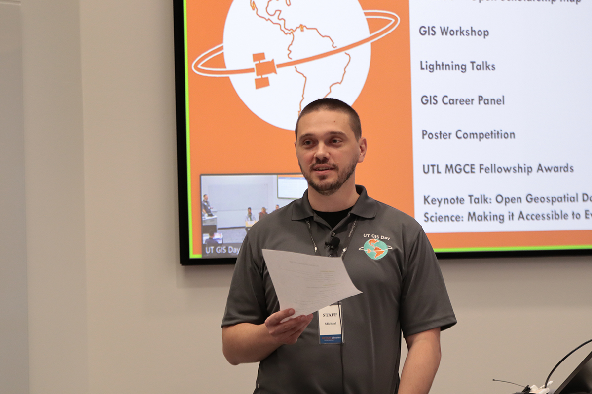
The UT Libraries and UT Open Source Program Office collaboratively organized a workshop focused on reproducible geospatial workflows using open source software. A panel of GIS professionals from the local community provided insight into the diversity of career paths that are open to students interested in working with geographic information systems. For the first time, UT GIS Day included a poster competition that featured awards for the top three student participants (1st – Brody Manquen, 2nd – Andrew Wang, 3rd – Chris Ploetz) in recognition of their exemplary poster design and Open Science Recognition Awards for all student participants who highlighted open geospatial science practices. Following the competition, the 2023 UT Libraries Map & Geospatial Collections Explorer Fellowship was awarded to our student and faculty recipients—Ethan Plevak and Dr. Elizabeth Catlos. Our keynote speaker, Dr. Qiusheng Wu (University of Tennessee) capped off our series of events with a fascinating talk that highlighted the power of open geospatial data and open source remote sensing software. 

Our 2023 UT GIS Day was truly a memorable celebration of all things geospatial at UT Austin and would not have been possible without the contributions of presenters, organizers, and attendees. The collaboration between the UT Libraries, UT Campus Geospatial Assets, UT Open Source Program Office, and Department of Geography and the Environment resulted in a diverse series of events that showcased the innovative applications of geospatial technologies here on campus and beyond. Hopefully the learning and networking opportunities provided by this year’s UT GIS Day events will contribute additional momentum to open geospatial science and GIS driven research here at UT Austin.

Collection Highlight: The Field Maps Of Roland T. Fenton

Every year the United States honors women and men who have served the U.S. armed forces during war and peacetime on the anniversary of the end of World War I, November 11. Originally called Armistice Day, Veterans Day celebrated and honored the soldiers that lost their lives in World War I. In 1954, after World War II and the Korean War, the federal holiday was officially expanded to celebrate and honor all veterans.

The UT Libraries honors veterans by telling their stories, preserving their legacy in our collections, and making the materials that meant something to them available to researchers for generations to come.

This Veterans Day, we are highlighting a collection of field maps and charts that belonged to Colonel Roland T. Fenton, a veteran of World War I and World War II. We are excited to tell part of his story through the maps he used in the field with an online exhibit, the Field Maps of Colonel Roland T. Fenton.

hand-drawn map depicting Givry, France. Shows built areas, railway line, roads, and vegetation. Hand colored. Purple and blue ink on paper.
Plan of Givry: scale 1:4,000. “July [day illegible], 1918” This hand-drawn map from World War I shows built areas, a railway line, roads, and vegetation is the only manuscript in this collection.

Aside from some basic biographical information, we know very little about Col. Fenton. We know that he spent 28 years of his life serving in the U.S. Army, and in that time, he was infantry and infantry support in both World Wars. And he managed to preserve some essential tools of his deployment, his maps. The fact that these maps survived the treacheries of war is incredible. After Col. Fenton died, his family donated his military effects to the Army Heritage Center who offered UT Libraries the maps to fill in missing maps from our online Perry-Castañeda Library Map Collection. They exceed our expectations. The field printing and annotations alone make them exceptional, but also many were classified. We are fortunate to be able to preserve and share them with generations to come.

Detail of 1918 map of Château-Thierry, France depicting Belleau, France. The paper is weathered, brown and shows crease marks, with topographic lines, buildings, roads, rail lines, and town name. There are faded notations in black pencil.
This detail of Château-Thierry: 29 Juin 1918 depicts Belleau, France. On July 18, 1918, (then) Lt. Fenton’s actions earned him the second-highest military decoration, the Distinguished Service Cross.

Visit the UT Libraries’ Exhibit to learn more about Col. Fenton and the context of his collection. The images accompanying this post and the exhibit are a fraction of the 84 maps in the Field Maps of Colonel Roland T. Fenton in the UT Libraries Collections portal.

Map of Darmstadt from 1944. There is an overprint of circles surrounding two cities connected by a line to two symbols. One symbol is a crescent and the other is a funnel. These symbols represent classes of supplies for combat units in World War 1. The crescent symbolizes rations and comfort items. The funnel symbolizes petroleum, oil, and lubricants.
This copy of the Darmstadt map has two overprint annotations, one circle around Gr. Gerau [Groß-Gerau] northwest of Darmstadt, connected to a second circle in the upper left margin enclosing a solid black crescent symbol and one circle around Truppen-Übungspl. Southwest of Darmstadt with a line connected to a second circle in the upper left margin encircling a solid black symbol of a funnel with a handle. The symbols indicate classes of supplies.
Detail of symbols overprinted on map of Darmstadt from 1944. There is an overprint of circles surrounding two cities connected by a line to two symbols. One symbol is a crescent and the other is a funnel. These symbols represent classes of supplies for combat units in World War 1. The crescent symbolizes rations and comfort items. The funnel symbolizes petroleum, oil, and lubricants.
Detail of overprinted symbols representing supply classes; the crescent symbolizes Rations and the funnel symbolizes Petroleum, Oil, and Lubricants (POL).

Read, Hot and Digitized: The Istanbul Urban Database project

Read, hot & digitized: Librarians and the digital scholarship they love — In this series, librarians from the Libraries’ Arts, Humanities and Global Studies Engagement Team briefly present, explore and critique existing examples of digital scholarship to encourage and inspire critical reflection of and future creative contributions to the growing fields of digital scholarship.

The Istanbul Urban Database project, headed by Nil Tuzcu (MIT), Sibel Bozdoğan (İstanbul Bilgi), and Gül Neşe Doğusan Alexander (Harvard), seeks to preserve collective memory and the urban cultural heritage of Istanbul by becoming the most comprehensive online archive of Istanbul’s urban history. The project is based on a digital corpus of maps of Istanbul, aerial imagery, photographs, and geographical features. The project combines this wide range of historical data on a sustainable platform that can be integrated into other projects. The project does not stand alone; there is, in fact, an API in development for serving and exporting the various layers of the information it contains.

With the Istanbul Urban Database, users can select a variety of maps, photos, and other imagery to superimpose over one another, or compare. You can examine one historical map at a time, superimpose them with adjustable transparency, and overlay georeferenced features on the maps. The side-by-side tool allows users to compare maps from two different time periods (currently limited to the 19th and 20th centuries). Uniquely, the project draws on Ottoman and French maps, primarily from the Harvard Map Collection. This allows the user to get a sense of both the internal and external views of Istanbul in the early 20th century.

The map comparison tool.

In terms of infrastructure, the Istanbul Urban Database’s transportation layer hosts information drawn from a 1922 map on ferry, train, and tramway lines. The project organizers decided to present major roads separately because of their impact on city growth. The ferry, train, and tramway lines, and the roads, were drawn by Harvard Mellon Urban Initiative researchers––a quite labor intensive process from which                                                                                                  users benefit immensely. Users also will enjoy having access to Henri Prost’s master plan archives, which have had significant effect on the development of the city of Istanbul. Lastly, users can peruse photographs of everyday life at different points in Istanbul’s history. Examples include beaches, casinos, movie theaters, and patisseries; snapshots of lives well-lived so long ago, in some cases in places that no longer exist.

Looking at spaces of everyday life, including beaches and the spaces of Beyoğlu.

The Istanbul Urban Database project is significant for its combination of resources on an accessible platform with potential for applications in other projects. Istanbul is a difficult city to navigate, let alone understand, today, and so attempting to imagine its past lives might seem rather intimidating for researchers. The Istanbul Urban Database project streamlines access to crucial 20th and late-19th century resources to facilitate research on the growth, structure, and development of the city of Istanbul.

Using the comparison tool between 19th century maps.

I encourage readers to explore all of the tools available, especially the comparison tool that allows you slide two maps right and left to compare time periods. I also suggest looking through the photographs of everyday life that are exhibited through this project, and examine whether or not these places still exist today by zooming into the base satellite map. Readers who are interested in maps of Istanbul and Turkey more broadly would benefit from visiting the UT Maps Collection. The maps of Turkey and specifically Istanbul are extensive and of interest for those piqued by the Istanbul Urban Database.

Collections Highlight: The Tobin International Geological Map Collection

Detail of map from the Tobin Collection.

The Tobin International Geological Map Collection provides map materials in support of teaching and research within the Jackson School of Geosciences, its programs and related disciplines. As graphic summaries of earth and planetary data, maps are an integral part of geologic and geographic study as well as an important information source in various aspects of research in such fields as energy,  engineering, land use planning, oceanography, physical and space sciences, environmental studies and the life sciences. To serve these disciplines, geologic, tectonic, stratigraphic, physiographic, geodetic, seismographic, outline, topical (such as soil and water survey), geophysical, structural, cross section, and index maps are required.

Located in the Walter Geology Library, the collection contains more than 50,000 maps and map texts that are arranged geographically. It functions as a working research collection that is more concerned with the utility of its maps for research rather than with their rarity as objects.

Tobin Surveys, Inc. of San Antonio endowed the Tobin collection in 1980 when it established the Tobin International Geological Library Fund to enable cartographic acquisitions. The collection aims for worldwide coverage of maps on geology and related subjects, but it is particularly dense in maps of Texas and select U.S. and foreign areas of geologic interest. The resources provide thorough coverage for North America (especially Texas and the Southwest), Mexico, Britain, Italy, Australia, Brazil and Turkey, with moderate coverage for the rest of the world.

The geologic map collection portrays surface and subsurface features, ages, and rock types at a variety of scales. Such maps are used for research in hydrocarbon and mineral exploration, hydrology, geomorphology and paleontology, archeology, and some engineering and architectural applications. The collection also includes some topographic or surface feature maps. Geologic and topographic maps largely are produced by and for governments around the world; however, some commercial maps are included in the collection.

The Tobin collection, in partnership with the Perry-Castañeda collection, serves as a federal depository for the maps of the United States Geological Survey (USGS). Through that arrangement, the collection maintains an almost complete set of the map series published by the USGS, including maps of various scales that provide users the ability to examine a continent, country, or more local geographic regions.

A large collection of geological maps of Greece and Italy, which are of special interest to archaeology and classics researchers, also are held in the collection. Overall, the resources of the Tobin Map Collection serve not only researchers within the geology, architecture, classics, archaeology, engineering, and geography departments, but also the general public.


Includes excerpts from The Collections, now available digitally and in print.

You Are Everywhere – The PCL Map Collection

PCL Map Collection

“Who does not have etched in the mind images of countries and of the world based on maps?”

– John Noble Wilford, The Mapmakers

It’s certainly the case that our perception of the world’s geography is rooted in our experience with the maps we’ve encountered, developed and designed over eons by both hand and machine. Even though we may have become increasingly reliant on disembodied voices to lead us where we need to go, the archetype for understanding the concept of location which we carry in our minds was instilled by the road guides of family vacations, massive retractable world maps of the elementary classroom and spinning globes of our past.

Equal parts art and science, maps are one of the most effective methods for conveying information visually in virtually any field of inquiry. In the miniaturization of space that is necessary to explain vast areas on a personal scale is a documentation of history and of change; of character and personality, value and values; of plant and animal; of health and illness, feast and famine; of motion and stasis; and of nearly any aspect of life and place that can be categorized for better understanding the world in which we live.

PCL Map Collection manager Katherine Strickland assists a patron
PCL Map Collection manager Katherine Strickland assists a patron.

And that, perhaps, is what makes the map collection at the Perry-Castañeda Library so incredibly valuable. Its scope in both size and subject is immense enough to maintain an intrinsic value — both as historical artifact and as a tool of modern research and reference — that goes unaffected by the passage of time.

Though the Perry-Castañeda Library Map Collection is considered a general collection, it’s anything but. Residing on the first floor of the university’s flagship library, it features more than 250,000 cartographic items representing all areas of the world. And its online component is not only one of the most highly visited websites at the university — garnering nearly 8 million visits annually — but is in the top ten most popular results for a Google search of “maps.”

The university began informally collecting maps previously — at the General Libraries, but also through efforts at the Geology Library, the Barker Texas History Center and the Benson Latin American Collection — but it wasn’t until the PCL opened in 1977 that the Map Collection was established on the first floor of the building as an independent collection.

The core of the collection emerged with the acquisition of the U.S. Geological Survey topographic maps, which date from the late 19th century and cover the entire United States, U.S. territories and other parts of the world where governments contracted U.S.G.S. for mapping, such as Saudi Arabia.

Topographic map of Singapore Island, 1941.

Since then, the collection has grown to feature military maps from various conflicts around the world, government nautical and aeronautical charts, topographic collections, city maps representing over 5,000 cities around the world, aerospace navigation charts, data and demographic maps, and just about every other conceivable type of physical cartography.

The collection also houses an extensive collection of atlases, from a street atlas of El Paso to the National Atlas of India. The library also purchases commercial and foreign government-issued topographic map series, country, city and thematic maps. The collection also includes a small but popular collection of plastic raised-relief maps and globes, not only of earth, but of the Moon, planets and other various celestial bodies.

Most of the maps in the collection date from 1900 to the present, and the collection is constantly being updated with newer materials, and complements a number of significant historical map collections housed on campus in the Center for American History (historical maps of Texas), the Benson Latin American Collection, the Harry Ransom Center and the Walter Geology Library.

Paul Rascoe — the Libraries’ Documents, Maps, & Electronic Info Services Librarian — has been the driving force behind the collection at PCL, especially in the formulation and execution of the collection’s online component. And it hasn’t hurt to have the planets align, at times.

“In 1994, we decided that we were going to scan maps,” says Rascoe. “We had a Macintosh computer and a Mac scanner, which I believe cost $100. We had a plan to put them in sort of a web menuing system called Gopher, but fortunately, simultaneously with our wanting to put maps online, the first web browser was introduced in that year.” Continue reading You Are Everywhere – The PCL Map Collection

Where Ya Headed?

Texas, 1839. Thomas Gamaliel Bradford. PCL Map Collection.

Ars Technica has written about a great new map resource website (Old Maps Online) with a rather unique user interface, one that allows the user to zoom in on an area à la Google Earth, and providing a selection of different types of enlargeable maps related to the selected area. The site was conceived through a a collaboration between The Great Britain Historical GIS Project based at The University of Portsmouth, UK and Klokan Technologies GmbH, Switzerland, and utilizes maps from the British Library, the National Library of Scotland, the Czech Republic’s Moravian Library and the San Francisco Bay Area’s David Rumsey Map Collection.

Not overlooked in the article, our own PCL Map Collection gets a mention:

Having such a large collection of cartographic history in one place and accessible by anyone with a browser is extraordinary enough. But it’s not the only online map collection of note. The University of Texas’s Perry-Castañeda Library Map Collection has been a familiar online companion from the early days.

Maps Make Reference Top 30

kabul_tpc92
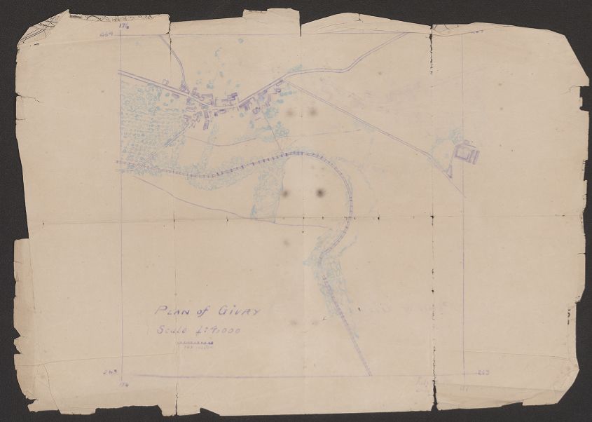
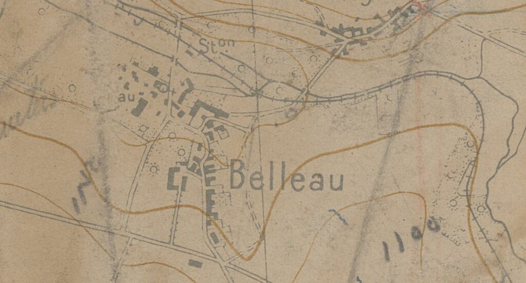
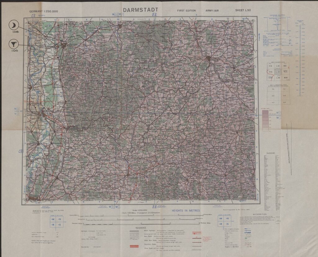
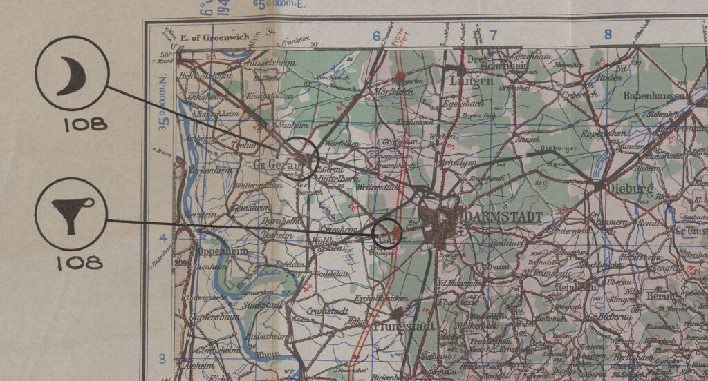
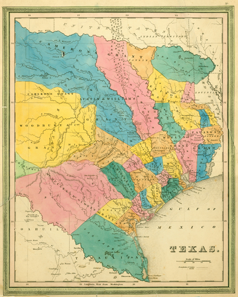
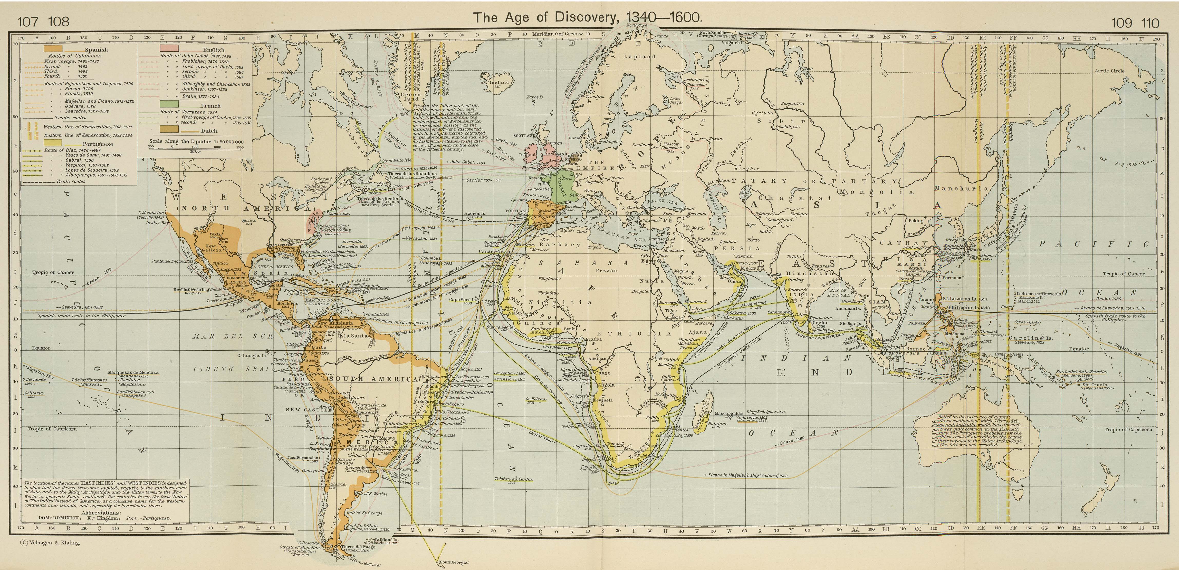
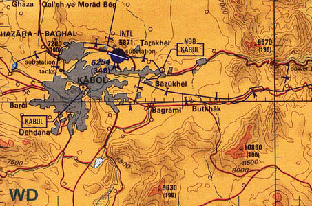
The Perry-Castañeda Library Map Collection gets a lot of use.
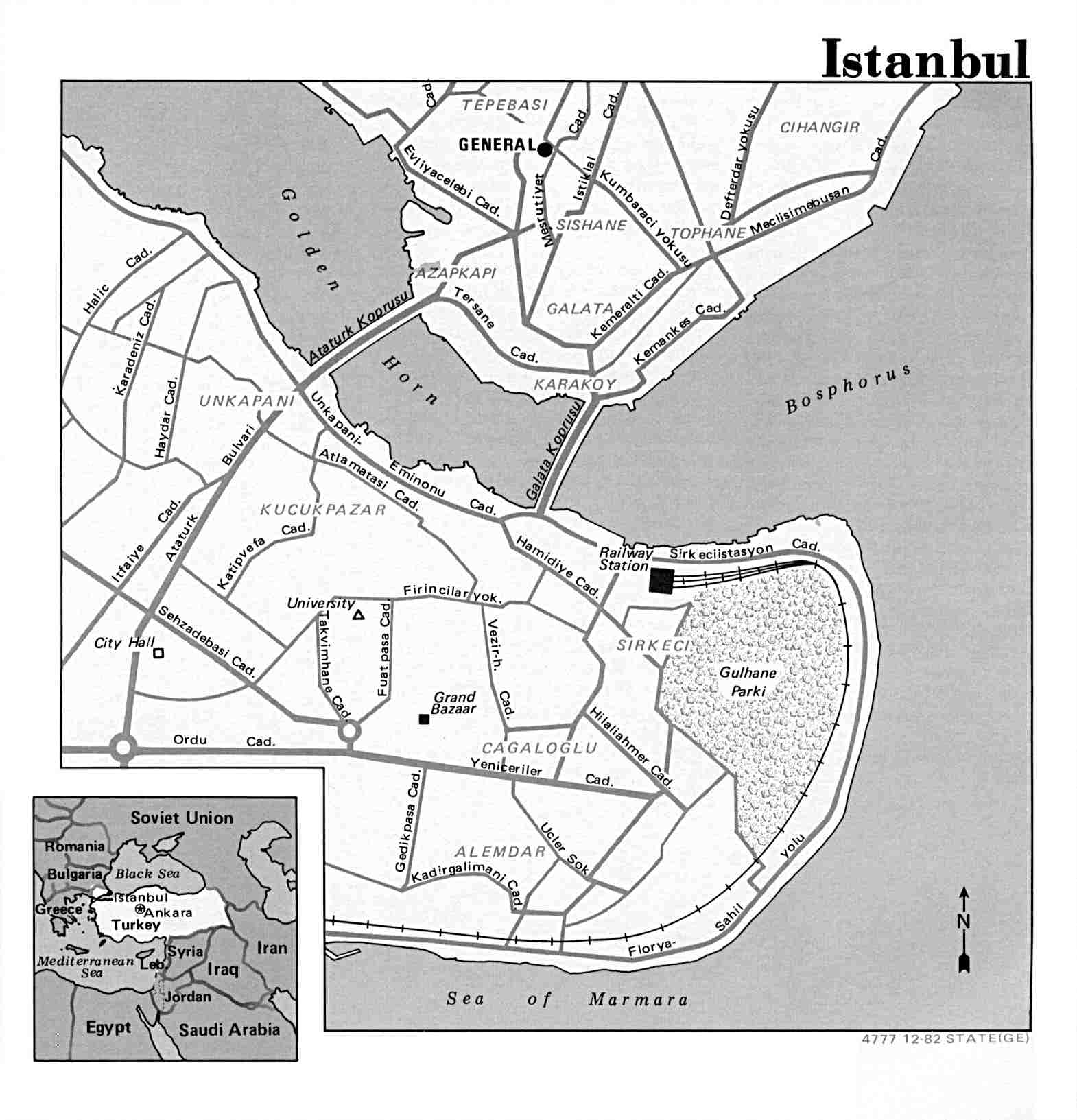
With its more than 25,000 maps digitized to date, that makes the collection the largest in the public domain, and it also means that the PCL Map Collection website gets a lot of visits…about 20 million pageviews in the last year alone.

In the past we’ve been alerted to high-profile users such as the United Nations (in the prosecution of Khmer Rouge) and the U.S. Centers for Disease Control, as well as regional and national news agencies, accessing the collections.

Now, the American Library Association has taken notice.

The Reference and User Services Association division of ALA has named the PCL Maps website as one of it’s 30 Best Free Reference Web Sites for 2010.