LLILAS Benson Latin American Studies and Collections is proud to present “Cantos y Cuentos: An Evening with Tish Hinojosa and Lourdes Pérez” for the 17th annual ¡A Viva Voz! Celebration of Latina/o Arts and Culture, coming to the Benson Latin American Collection, 2300 Red River Street, on Thursday, April 4, 2019, at 7 p.m.
In “Cantos y Cuentos,” San Antonio native Tish Hinojosa and Puerto Rican–born Lourdes Pérez will share the stage for song and conversation, giving the audience a front seat to the stories and histories behind each composer’s music, and glimpse of a friendship that spans many years.
Tish Hinojosa
Hinojosa is one of 13 children born to immigrant parents. The Southwest has been a focal point for her songwriting in English and Spanish, in styles ranging from Tejano to singer-songwriter folk, border music, and country. In a career spanning more than three decades, she has toured extensively in the U.S. and Europe, recorded in English and Spanish as an independent artist for major record labels, and has been a featured artist on Austin City Limits and A Prairie Home Companion. Hinojosa was praised by the Chicago Tribune as “a first-class songwriter,” and her supple voice lends itself well to a variety of genres. Her most recent album, West, includes new originals and an eclectic mix of covers.
Hinojosa was an invited performer at the White House at the invitation of President Bill Clinton and then First Lady Hillary Clinton. She has performed with Joan Baez, Booker T. Jones, Flaco Jimenez, Pete Seeger, and Dwight Yoakam. The Benson Latin American Collection is the repository of Hinojosa’s archive.
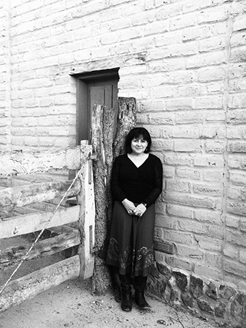
Lourdes Pérez, photo: Jennifer Davis, 2019
When she began touring in the early 1990s, Lourdes Pérez was one of the only out Latina lesbians in the music world. Known for her soulful contralto voice, she takes on difficult topics in her songs, such as war and social justice, but also pens beautifully crafted lyrics on a range of topics. She is one of the few female writers of décimas, a form of Spanish poetry. Pérez’s performances have taken her to war zones and contested areas such as Chiapas and Palestine, and she has collaborated onstage and off with songwriters and performers in those areas and others, including translating lyrics from Arabic into Spanish.
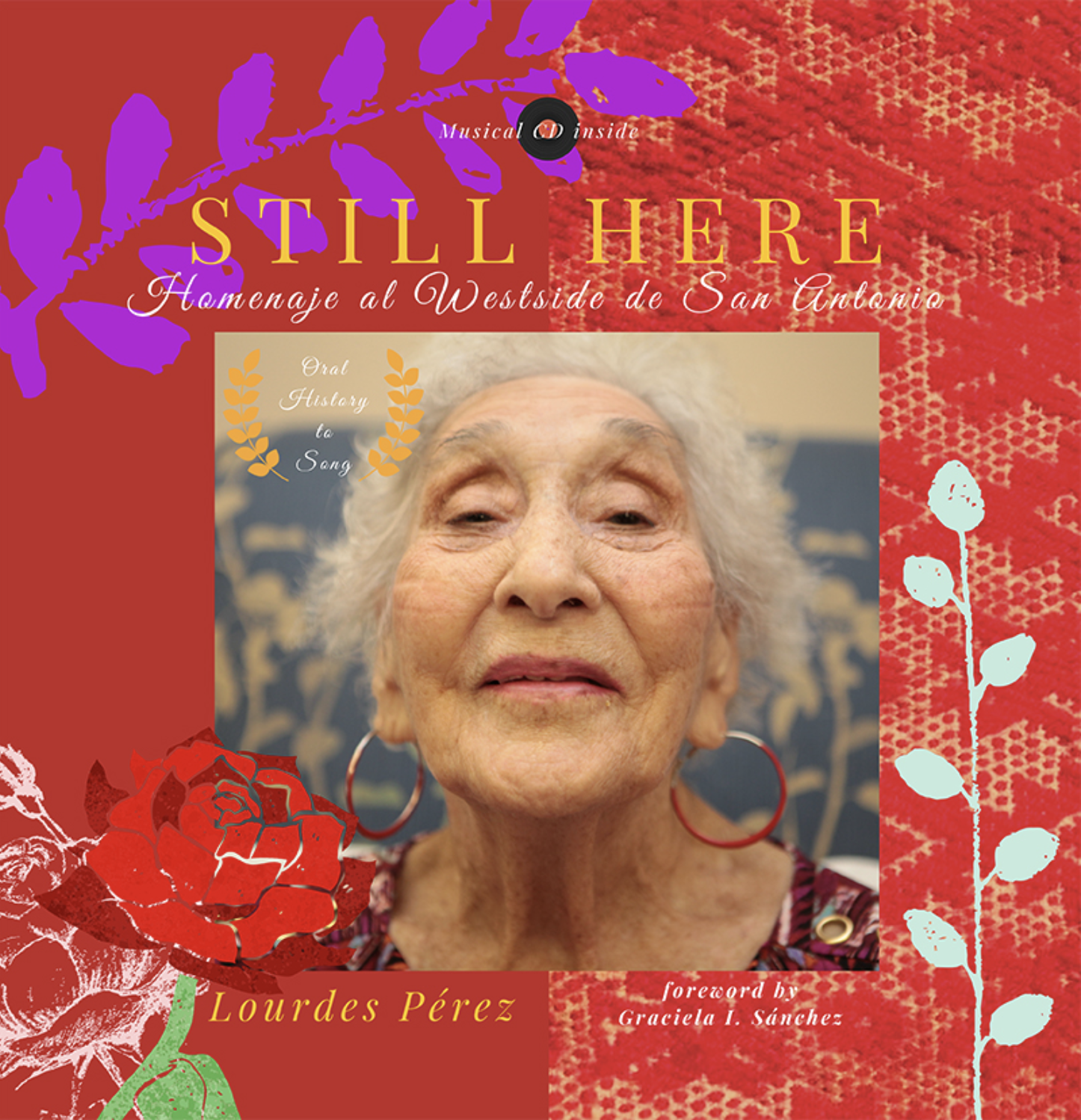
In 2006, Pérez was one the first five artists in the US to be awarded a United States Artists Fellowship for Music, naming her “one of the finest living artists in the country.” Pérez is also a poet and oral historian. Her most recent project, Still Here: Homenaje al West Side de San Antonio, is a book and CD with original compositions by Pérez, performed by a variety of artists, inspired by oral histories of some of San Antonio’s most revered elders. The release of the project included a multimedia performance.
This event is free and open to the public. A reception will follow the performance. RSVP requested at http://attend.com/avivavoz17.
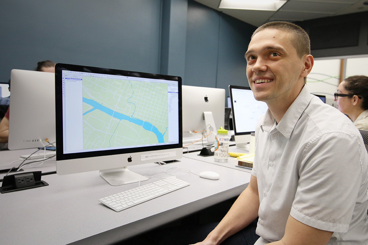
Michael Shensky joined the Libraries last year as the GIS and Geospatial Data Coordinator to enhance the resources available from the Research Data Services unit with added expertise in Geographic Information Systems, which are increasingly becoming central to our online lives. Shensky took some time to talk about the importance of GIS and where he sees it in the future.
GIS and Geospatial Data Coordinator Michael Shensky.
Michael Shensky: Whenever I’m asked what GIS is, and I often am when I tell people what I do for a living, I always start with a very simple definition and expand from there. I typically tell people that GIS is an acronym that stands for geographic information systems and that it is the technology that is used to manage the data behind many of the maps they encounter online and in mobile apps. I also find it helpful to explain that the “geographic information” part of GIS refers to geospatial data (data that features both coordinate information identifying a place on Earth and attribute information that describes something located at that place) while “system” refers to the software and hardware components that are used together to manage this unique type of data effectively.
GIS is incredibly important in our daily lives because it is used to guide and facilitate much of the work that local governments, state and federal government agencies, utility companies, non-profit organizations, and academic researchers carry out. If all GIS software were to suddenly stop working tomorrow, it would be very difficult for those who rely on geospatial data to effectively manage their operations and this would have a dramatic impact on the lives of everyone, not just GIS users. For instance, cities might have difficulty assigning work crews to conduct road repair work if they cannot access their database of pothole locations, fire departments might struggle to respond to the locations of emergencies if they can’t quickly look up the location of an address, and technology companies would see apps that include mapping functionality suddenly break as the data fails to load properly.
While most people do not realize the significant role that GIS software plays behind the scenes in the operations of many organizations, if they look closely enough they can find traces of its impact in their daily lives. If they come across a map when browsing the web, there is a very good chance that GIS software was used to design its layout and manage the data behind the features depicted in it. If a new store or restaurant opens in their neighborhood, it is likely that GIS software was used to analyze demographic and consumer spending data for their local area to determine that this would likely be the most profitable location. If they use the routing functionality built into their car dashboard, the street data used to route them was likely created or edited with GIS software. If they visit the website of their local city or county, it is quite likely they will find a web page designed specifically for sharing geospatial data that has been developed with their taxpayer money and which has been made publically available for anyone to download and use in GIS software.
Given the organic nature of its development, how can standards be developed to manage the proliferation of GIS data?
MS: In the GIS world, there are open standards developed by non-profit organizations like the Open Geospatial Consortium (OGC) and there are often competing proprietary standards developed by for-profit companies like Esri, whose software products dominate the GIS industry in the United States and many other countries. While we are very fortunate that these standards exist so that there is agreement on how data should be structured and how it should be read by GIS software, there are downsides to having multiple standards to choose from. Having multiple standards to choose from puts GIS professionals in a tough position when we want to share data with others, since we often need to ensure that data is available in multiple standard formats to make it easy for other GIS users to work with the data regardless of whether they are using open source software or Esri’s ArcGIS software. This situation is further complicated by the fact that the popularity of specific standards can fluctuate over time and occasionally completely new standards are developed while older standards may fall into disuse and become functionally obsolete.
For the geospatial data in the UT Libraries’ collections that we are currently in the process of trying to make more easily accessible, we are aiming to share the data in every common standard format that we can. Our goal is to facilitate access to our data for all GIS users, regardless of which software they use or standards they prefer. This approach of making shared datasets available in multiple formats has become quite common on data portals operated by other universities as well as those developed by cities, counties, and federal government agencies. As any good organization would, we plan to stay on top of the latest geospatial data standards and ensure that we are making datasets available in the formats that GIS users expect to find and like to work with.
How did you become a specialist in GIS?
MS: That’s actually a really interesting question, because I sometimes look back on the last decade and wonder that myself. The career path I envisioned for myself shifted quite a bit during my college years and a few chance decisions that didn’t seem particularly significant at the time ended up playing a very substantial role in leading me to the position I’m in today.
As a junior, I was contemplating my changing my major to anthropology or geography since I had really enjoyed taking classes in both disciplines, and I ended up selecting geography partly because I knew that GIS was a required class in that program and that this class would provide me with a technical skill upon graduation. At the time, I had never used or even seen GIS software but I knew it was used to make maps and that sounded really interesting to me. I didn’t actually end up taking that required GIS class until my last semester as an undergraduate and I did I was a surprised to find it a little less exciting and more challenging than I had originally expected. Right after graduation I started applying for a variety of jobs that I thought I might qualify for and the first one I was offered was a paid GIS internship. I didn’t find the job all that interesting at first and during my first few months there did not see myself making a career out of GIS.
This initial lack of fulfillment actually even ended up being a contributing factor in my decision to enroll in a Geography graduate program – I wanted to develop new skills that would open up different job opportunities. While in grad school I continued to work at this same GIS job part time and found that I started to become more interested in the work I was doing as I was assigned more advanced and challenging projects. Because of the GIS skills I gained in this role, I was offered a GIS research assistant position during my last two years of graduate school and then ended developing my master’s thesis project from the work that I did in this role. By the time I completed the work for my master’s degree, my perspective on GIS had changed dramatically, and when I was offered a full time job teaching GIS classes and managing the GIS computers labs for the Geography department at California State University, Long Beach, I was thrilled to have the opportunity to advance my career in GIS. I ended up spending several years in this position which allowed me to further develop my technical skills, gain teaching experience, and develop an even greater respect for the value of GIS software in academic research – all of which prepared me for well for my current role here at the UT Libraries.
What sort of projects have you been working on at UT?
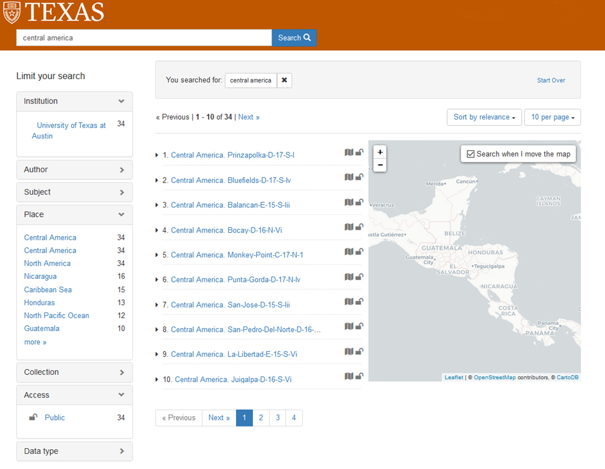
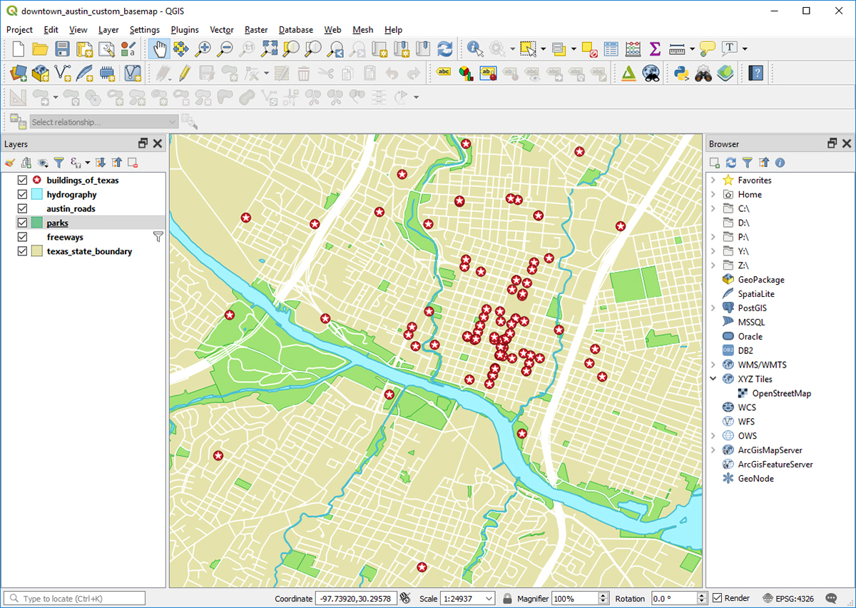
MS: I’ve been working on a few different projects since I started here at UT, the biggest of which is focused on developing a new geospatial data portal that will be part of the UT Libraries website. This portal will allow users to search for geospatial data in our Libraries’ collections that can be used with GIS software. We have been referring to this project internally as the “GeoBlacklight” project because it uses open source software of that name to provide a web interface and data search capabilities. We are optimistic that this project will be completed in the first half of 2019 and that it will be available to the campus community before the start of the fall semester. Once it is rolled out, visitors to the website will be able to search through a variety of geospatial datasets including georeferenced scanned map images from our PCL Map Collection and vector datasets developed from items in other collections like the Benson Latin American Collection and Alexander Architectural Archives. I’m really excited to be a part of this project because I know this portal has the potential to benefit everyone in the campus community regardless of their role and area of specialization. Once the portal is finished and made available, it should be easy for faculty to find data that they can use to develop instructional materials, for students to find data they can use in research projects, for Libraries staff to find data they can use to highlight notable collections, and for everyone in general to browse through when curious about the interesting maps and datasets we have available here at the UT Libraries.
San Salvador map from the PCL Map Collection.Screenshot of the search results page in a still-under-development version of the UT Libraries GeoBlacklight portal.
addition to the GeoBlacklight project I have also been working on a program of coordinated outreach and education about GIS both internally within the libraries and externally with departments across campus. As part of this effort I have helped organize events like our recent Local Perspectives on the State of Open Data discussion panel which brought GIS experts from the City of Austin, Travis County, Texas General Land Office, and Texas Natural Resources Information System here to campus to share their thoughts on GIS and open data. I’ve also taught several GIS focused workshops that provided an opportunity for all members of the campus community to learn about GIS and further develop their geospatial research skills. In order to introduce library personnel to some of the capabilities of GIS I’ve also spoken at and helped organize a series of linked data information learning group meetings. I’ve been glad to see that this multifaceted approach has been successful in helping get the word out about GIS on campus and I’ve noticed that I am starting to hear from more and more people each week who are looking to learn more about how they might be able to use GIS in their work.
What are some of the interesting ways GIS will be used in the future?
MS: While it’s impossible to know exactly how the way in which we use GIS might change in the future, I think there are a few developments that are all but certain. One of the major developments I foresee is growing awareness of GIS and rapid improvement in the capabilities of open source GIS software like QGIS leading to greater adoption of GIS software in a variety of disciplines and industries. If this prediction proves accurate, the lowering of financial and technical barriers that currently hold people back from using GIS software would greatly benefit small businesses, startups, non-profits, municipalities with limited resources, and more. It should also have a profound impact in the academic world as it will make it easier for researchers to incorporate GIS into their work. I think we will see GIS software being used much more widely in fields like history, journalism, linguistics, ethnic studies, and in the humanities more generally. If this does in fact happen, it will not only open up new avenues for research in these fields but will also make it easier for those working in these different disciplines to work together with each other across departments because they are using a shared technology. Even in disciplines where GIS is already widely used, like geology, biology, geography, and anthropology, I think there will be increased rates of adoption, especially among researchers in developing countries who can start using open source GIS software without having to worry about expensive software licensing or significant software limitations. From my experience in a previous GIS position at another university, I saw firsthand how difficult it could be for researchers in my department to work with colleagues from universities in other countries whose institutions could not afford access to the same proprietary software resources until they all started using open source software to facilitate collaboration.
Example of a QGIS project.
In addition to the many benefits I think we will see from growing awareness of GIS software and open source GIS software in particular, I think GIS technology will become more useful and powerful as technology continues to improve. Perhaps the biggest impact on GIS will come from new and emerging categories of mobile devices that will make it possible to view and interact with geospatial data in ways that are quite different from the manner in which we engage with geospatial data now on the flat screens of our computer monitors and cell phones. In the 9 years that I have been in this field, there have been several completely new categories of devices that have been released (smart watches, augmented reality glasses, and virtual reality headsets being the most notable) all of which can be used to display new types of maps and I think we will see these technologies mature in a way that will affect how maps are made.
Virtual reality is the currently the most significant of these technologies for working with geospatial data due to the availability of relatively affordable consumer grade headsets and their ability to give users a three dimensional immersive map experience. While I think virtual reality maps will become increasingly common and useful, I think augmented reality devices ultimately hold the most promise of any emerging technology. Right now augmented reality glasses are held back by their high price points, large size, and limited field of view but companies like Microsoft, Google, and Apple have all indicated that they are working on addressing these challenges. If any of these companies (or newer companies like Magic Leap who are also focusing on augmented reality technology) can create a wearable device similar in size to a pair of regular sunglasses, sell it for close to the price of a high end cell phone, and have it effectively overlay 3D objects on top of a user’s normal field of view, I think this would revolutionize how GIS professionals manage data and produce maps. It would also of course open up enormous opportunities for researchers who are looking for new ways to explore geospatial data and visualize their research findings. While a breakthrough like this may not happen this year or next, I think it is just a matter of time before our technology reaches this point and GIS software will have to adapt to facilitate the production of geospatial content for these new types of devices.
While I’ve been working in the Black Diaspora Archive (BDA) for just under two months now, I’ve already experienced and learned so much. BDA’s mission is to document the Black experience in the Americas and Caribbean. Under the guidance of our inaugural Black Diaspora Archivist, Rachel Winston, I’ve been given the opportunity to do my part in accomplishing this mission.
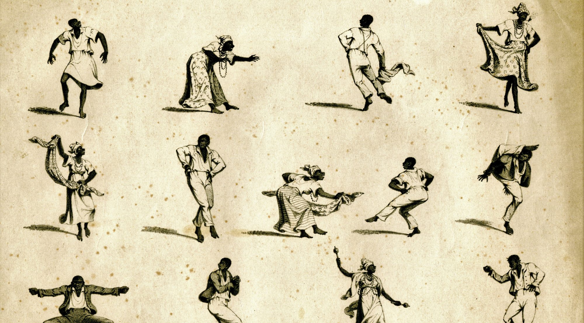
Currently, I’m processing the Judith Bettelheim Papers and making that collection available for researchers to use. Dr. Judith Bettelheim is a retired university professor, curator, and art historian, specializing in Afro-Caribbean festival and performance arts. Throughout her long and accomplished career, Dr. Bettelheim has helped to expand the field of art history beyond the limited lens of Western art and has pushed for the increased prominence of African and African Diasporic art in published scholarship.
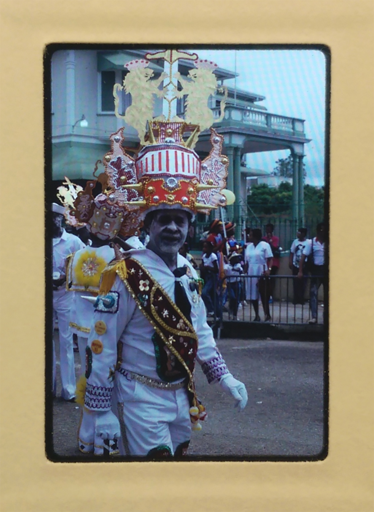
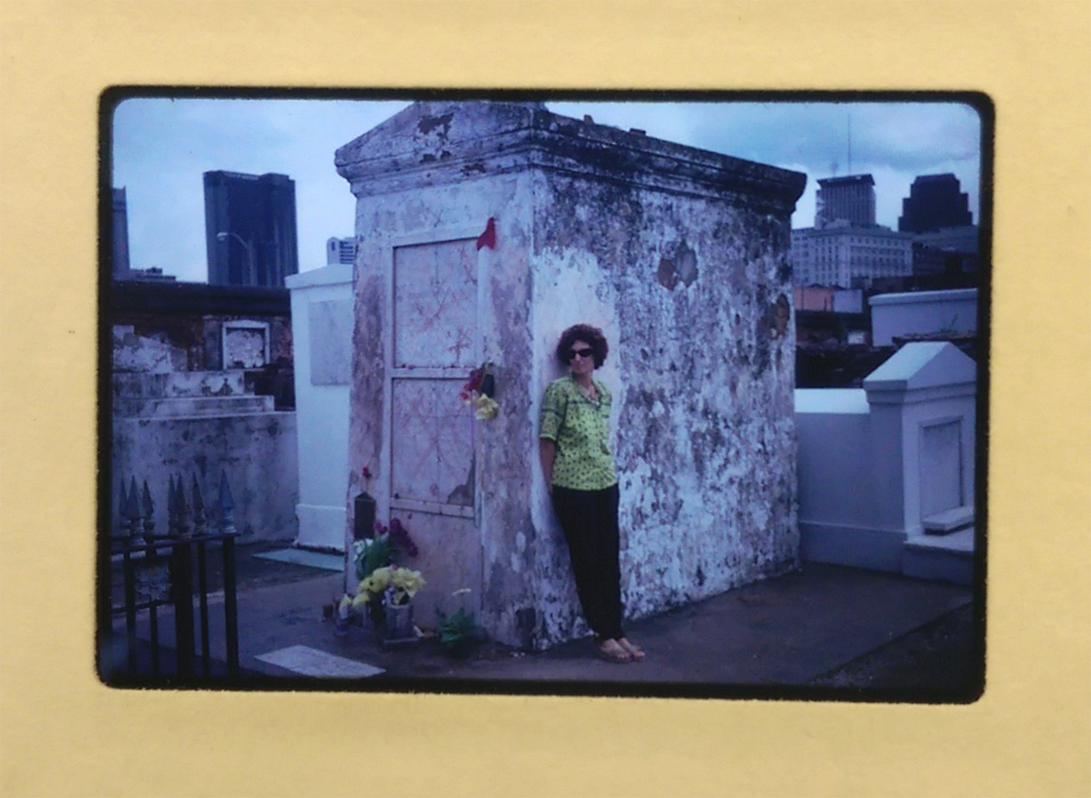
Caribbean festival performer from the Judith Bettelheim collection.Correspondence from the Judith Bettelheim collection.
Among other materials, the Judith Bettelheim Papers include handwritten field notebooks and interview transcripts from her trips to Caribbean nations, hundreds of photo slides of Caribbean festival performers, and research relating to her exhibitions and publications on Cuban visual artists like José Bedia and Eduardo “Choco” Roca Salazar. Being able to handle these records has allowed me to gain a better understanding not only of Dr. Bettelheim, but also of the people and places on which she’s focused so much of her life’s work. Preserving cultural heritage and making the records of historically underrepresented individuals and groups widely accessible is definitely a privilege, and it makes coming to work every day something to look forward to.
Photo from the Judith Bettelheim collection.
Beyond gaining valuable hands-on experience with archival materials and all the steps present in making them ready for research use, I’ve also been able to shadow Rachel in her daily work and better understand what it means to be an archivist not simply in theory, but in practice. And I’ve learned that depending on the day, it means a lot of different things – deinstalling exhibitions, providing reference support in the Reading Room, preparing materials for the next exhibition, visiting classes to discuss the work we do as archival professionals and how students can incorporate archival practices into their own documentary efforts, installing a new exhibition, and so on.
In my short time in the Black Diaspora Archive, I’ve already found myself involved with an active and dedicated community focused on providing a space for those who historically have not had any and a voice for those who have often been silenced. It’s been an inspiring and eye-opening experience, and I’m looking forward to becoming even more involved over the coming months.
Read, hot & digitized: Librarians and the digital scholarship they love— In this series, librarians from UTL’s Arts, Humanities and Global Studies Engagement Team briefly present, explore and critique existing examples of digital scholarship. Our hope is that these monthly reviews will inspire critical reflection of and future creative contributions to the growing fields of digital scholarship.
David Foster Wallace’s Infinite Jest is considered, by some, a masterpiece of late 20th century American literature. The Harry Ransom Center’s acquisition of Wallace’s personal papers in 2010 gave his work a higher profile among scholars[1], and “Wallace Studies” has emerged as a sub-discipline.[2] Curiously, his writings inspire an obsessive fan base that resembles the enthusiasm and devotion found at sci-fi cons rather than serious literary study.[3] (Wallace had his own obsessions with television and “low-brow” pop culture, and perhaps he would find his fandom amusing.)[4]
I started reading Infinite Jest while I was living in Boston, and I was struck by the novel’s sense of place. Wallace set the novel in a dystopic future where the United States has merged with Mexico and Canada to form the Organized North American Nations. Despite this setting, Bostonians will quickly recognize places in the novel because Wallace reimagines the city in excruciating detail. Critic Bill Lattanzi suggests Wallace was mirroring James Joyce’s painstaking recreation of Dublin in Ulysses. But Lattanzi recognizes what many readers familiar with Boston understand about the novel: There is a distortion of the city in Infinite Jest. It’s not Boston, or even the United States, as we know it. [5]
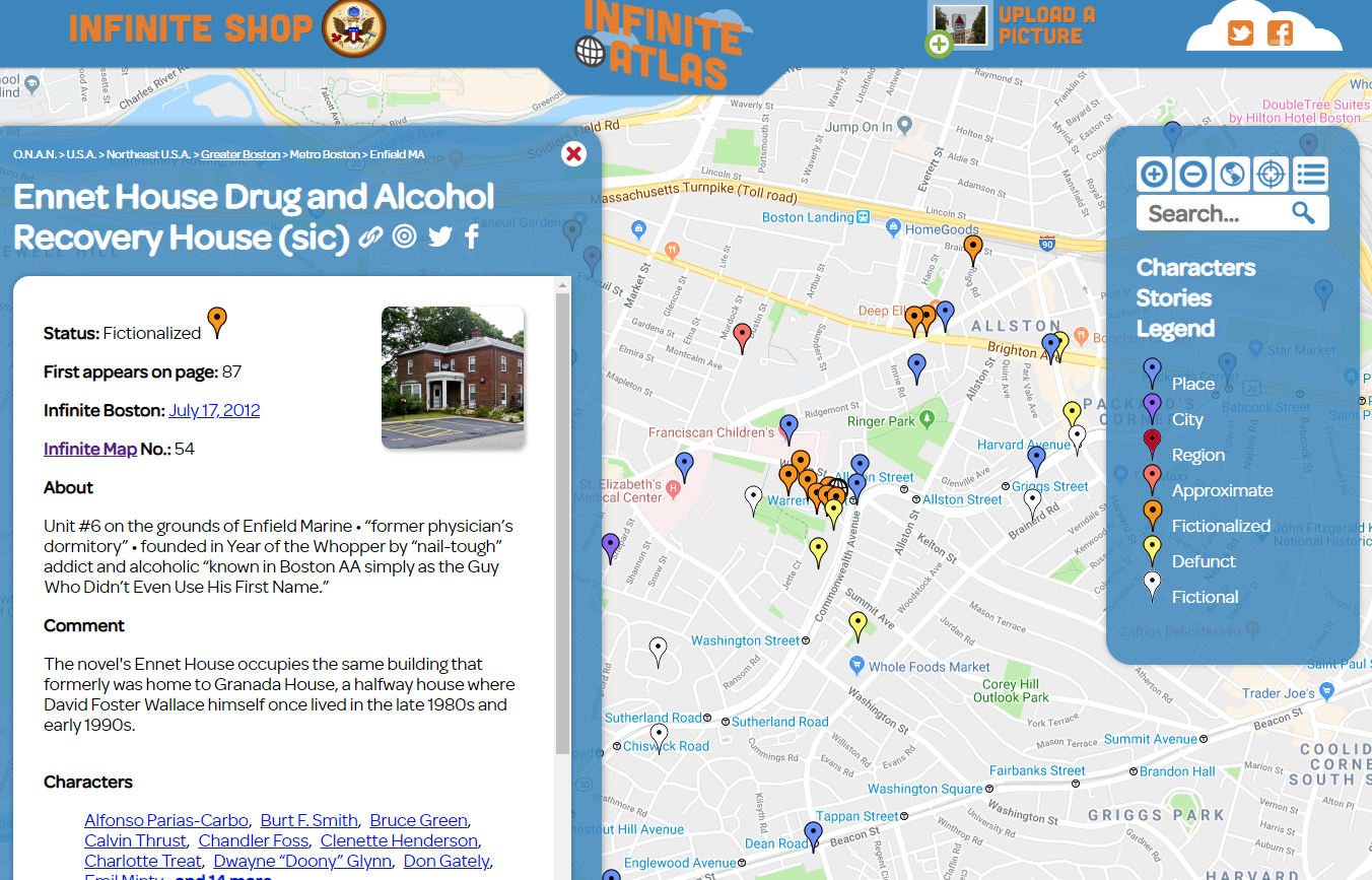
In this context, I chose to evaluate the Infinite Atlas, an interactive, crowd-sourced mapping project that geo-locates references in Infinite Jest. William Beutler, a communications consultant, created the Infinite Atlas and the travel blog Infinite Boston in 2012. The site’s “About” section describes it as “an independent research and art project.”[6]
The Infinite Atlas includes fictional and fictionalized locations unique to Infinite Jest. The Ennet Drug and Alcohol Recovery House is set in the town of Ennet, a fictionalized version of Boston’s Brighton neighborhood.
The Infinite Atlas is built on Google Maps, with design work by the firm JESS3 and programming from the web development company Red Edge. (It’s unclear if Beutler paid for the design and programming.) Beutler credits his friends and family for helping him with data collection, which included going through all 1,000+ pages of Infinite Jest one-by-one. The project also allows users to create their own locations and upload photos and descriptions, so the Atlas has expanded beyond the Boston area.
What can academic institutions take away from this project? What strikes me is the dedication, love, and passion Beutler and his friends brought to it, and their continued maintenance of the Infinite Atlas. Maintenance of digital projects is an ongoing issue for academic institutions and libraries, which can’t afford trendy design firms. However, we can learn from the Infinite Atlas team’s dedication. We should choose projects that we are passionate about, ones that we will care for and attend to in the future, much in the same way we care for our physical book collections.
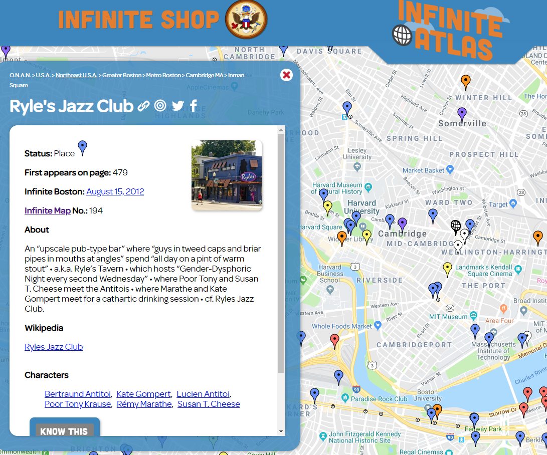
This is the Infinite Atlas entry for Ryle’s Jazz Club in Cambridge, which was the setting of a notable scene in Infinite Jest and is a place you can actually visit.
This project also has interesting implications for scholars. Infinite Jest is a very difficult book. It is long, convoluted, and full of footnotes. It requires stamina of its readers. If the novel is, as Lattanzi suggests, a fragmentation of Wallace’s experiences in Boston, it is logical that fans would try to make sense of that. Beutler told Fast Company in 2015, “I re-read Infinite Jest after Wallace’s passing, and became obsessed with the idea that there was a way to treat Infinite Jest as a very large data set.”[7] The Infinite Atlas is an attempt to better understand this novel through data, and that is one of digital humanities’ primary goals. Furthermore, the Infinite Atlas could be an object of study unto itself. It is, in a way, a primary source potentially useful for scholars interested in reader response to Wallace’s work. In the universe of digital projects, a non-academic work like the Infinite Atlas is an intriguing example because it challenges our notions of scholarship and leads us to other potentially better questions.[8]
[4] See Wallace’s famous essay “E Unibus Pluram: Television and U.S. Fiction” in his 1997 book A Supposedly Fun Thing I’ll Never Do Again for Wallace’s examination of his own fraught relationship with television: http://catalog.lib.utexas.edu/record=b4267999~S29
Caves and karst (eroded limestone terrains) are tied to the whole of human history – as shelters, as sources of water, as places of mystery and worship, and as research topics in geology, biology, hydrology and engineering. The Walter Geology Library as a respected research library in earth sciences, has a strong collection in caves and karst research, particularly since Central Texas has many caves and karst features, and the region has long hosted an avid caving community.
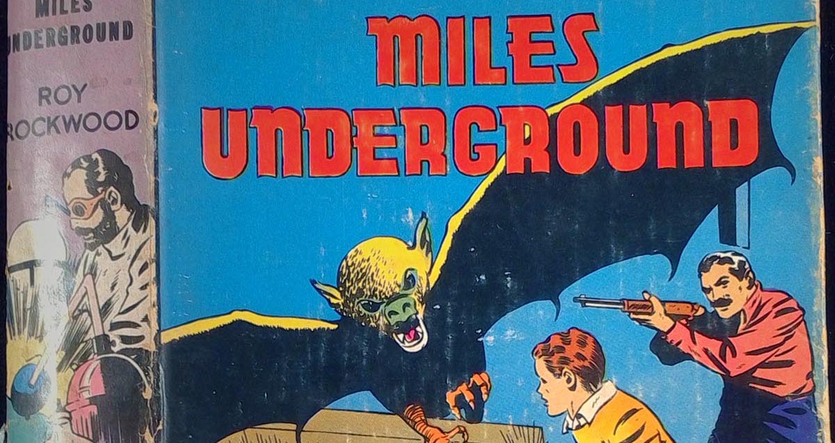
Volume from the Bill Mixon cave collection.
One member of that local caving community, Bill Mixon — former book review editor for the National Speleological Society and friend of the Walter Library — recently donated his unique collection of over 1000 books and more than 1000 periodical issues related to cave and karst research, literature, and culture. Remarkably, this entire collection is all material new to the UT Libraries, significantly broadening and enhancing our existing collections.
The collection is largely international in scope, and among the items included, almost 1/3 of the books are not only new to UT, but not held otherwise in any US libraries, or not held anywhere at all. Another 20+% of the materials are held in fewer than 5 North American collections.
The literature of caving is largely produced by specialists for specialists, and much of it is only shared among informal networks, or is only available locally or regionally — not the kind of stuff you can buy on Amazon. For this reason, this gift of personally-curated material from around the world is a tremendous asset, representing years of effort on the part of the donor to amass such a significant cross section of the world’s cave publications.
We are grateful for the gift, as it adds significantly to our existing strengths, and will give future researchers the benefit of having guides, exploration reports, and research on most of the world’s major cave and karst systems all in one place.
Why Caves Matter.
Caves are:
Hidden time machines and an historical record of previous natural and human activity
Essential filtration tools and sources for water
Home to unique critters and life forms, including bats, spiders, microbes
Great sources of fossils of all kinds
Key to the study of climate
Important areas of earth science research
Home to early man, later man, hiding man, man at war