
The Tobin International Geological Map Collection provides map materials in support of teaching and research within the Jackson School of Geosciences, its programs and related disciplines. As graphic summaries of earth and planetary data, maps are an integral part of geologic and geographic study as well as an important information source in various aspects of research in such fields as energy, engineering, land use planning, oceanography, physical and space sciences, environmental studies and the life sciences. To serve these disciplines, geologic, tectonic, stratigraphic, physiographic, geodetic, seismographic, outline, topical (such as soil and water survey), geophysical, structural, cross section, and index maps are required.
Located in the Walter Geology Library, the collection contains more than 50,000 maps and map texts that are arranged geographically. It functions as a working research collection that is more concerned with the utility of its maps for research rather than with their rarity as objects.
Tobin Surveys, Inc. of San Antonio endowed the Tobin collection in 1980 when it established the Tobin International Geological Library Fund to enable cartographic acquisitions. The collection aims for worldwide coverage of maps on geology and related subjects, but it is particularly dense in maps of Texas and select U.S. and foreign areas of geologic interest. The resources provide thorough coverage for North America (especially Texas and the Southwest), Mexico, Britain, Italy, Australia, Brazil and Turkey, with moderate coverage for the rest of the world.
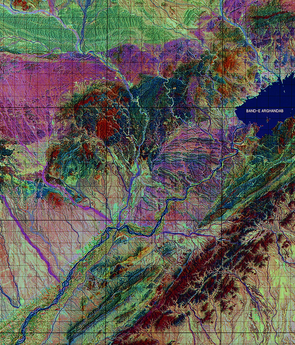
The geologic map collection portrays surface and subsurface features, ages, and rock types at a variety of scales. Such maps are used for research in hydrocarbon and mineral exploration, hydrology, geomorphology and paleontology, archeology, and some engineering and architectural applications. The collection also includes some topographic or surface feature maps. Geologic and topographic maps largely are produced by and for governments around the world; however, some commercial maps are included in the collection.
The Tobin collection, in partnership with the Perry-Castañeda collection, serves as a federal depository for the maps of the United States Geological Survey (USGS). Through that arrangement, the collection maintains an almost complete set of the map series published by the USGS, including maps of various scales that provide users the ability to examine a continent, country, or more local geographic regions.
A large collection of geological maps of Greece and Italy, which are of special interest to archaeology and classics researchers, also are held in the collection. Overall, the resources of the Tobin Map Collection serve not only researchers within the geology, architecture, classics, archaeology, engineering, and geography departments, but also the general public.
Includes excerpts from The Collections, now available digitally and in print.