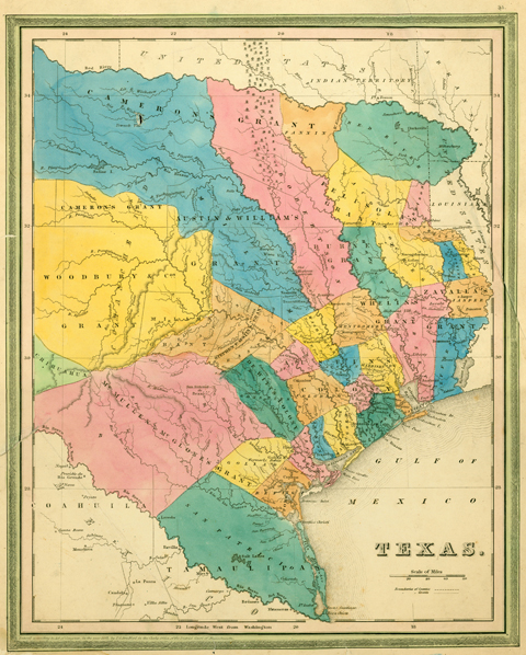
Ars Technica has written about a great new map resource website (Old Maps Online) with a rather unique user interface, one that allows the user to zoom in on an area à la Google Earth, and providing a selection of different types of enlargeable maps related to the selected area. The site was conceived through a a collaboration between The Great Britain Historical GIS Project based at The University of Portsmouth, UK and Klokan Technologies GmbH, Switzerland, and utilizes maps from the British Library, the National Library of Scotland, the Czech Republic’s Moravian Library and the San Francisco Bay Area’s David Rumsey Map Collection.
Not overlooked in the article, our own PCL Map Collection gets a mention:
Having such a large collection of cartographic history in one place and accessible by anyone with a browser is extraordinary enough. But it’s not the only online map collection of note. The University of Texas’s Perry-Castañeda Library Map Collection has been a familiar online companion from the early days.
