Every year the United States honors women and men who have served the U.S. armed forces during war and peacetime on the anniversary of the end of World War I, November 11. Originally called Armistice Day, Veterans Day celebrated and honored the soldiers that lost their lives in World War I. In 1954, after World War II and the Korean War, the federal holiday was officially expanded to celebrate and honor all veterans.
The UT Libraries honors veterans by telling their stories, preserving their legacy in our collections, and making the materials that meant something to them available to researchers for generations to come.
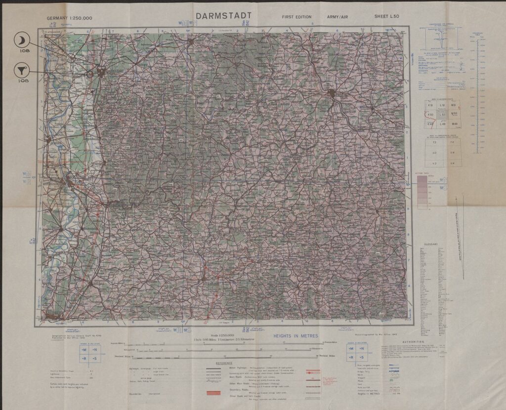
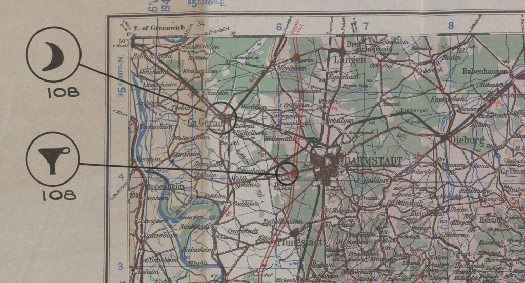
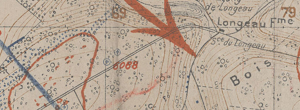
This Veterans Day, we are highlighting a collection of field maps and charts that belonged to Colonel Roland T. Fenton, a veteran of World War I and World War II. We are excited to tell part of his story through the maps he used in the field with an online exhibit, the Field Maps of Colonel Roland T. Fenton.
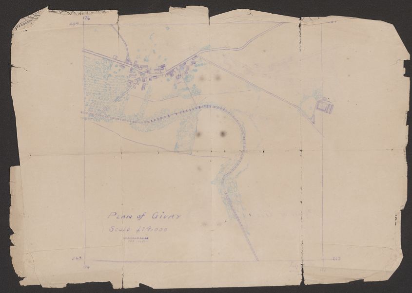
Aside from some basic biographical information, we know very little about Col. Fenton. We know that he spent 28 years of his life serving in the U.S. Army, and in that time, he was infantry and infantry support in both World Wars. And he managed to preserve some essential tools of his deployment, his maps. The fact that these maps survived the treacheries of war is incredible. After Col. Fenton died, his family donated his military effects to the Army Heritage Center who offered UT Libraries the maps to fill in missing maps from our online Perry-Castañeda Library Map Collection. They exceed our expectations. The field printing and annotations alone make them exceptional, but also many were classified. We are fortunate to be able to preserve and share them with generations to come.
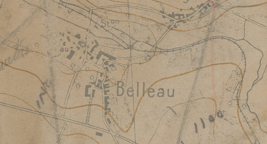
Visit the UT Libraries’ Exhibit to learn more about Col. Fenton and the context of his collection. The images accompanying this post and the exhibit are a fraction of the 84 maps in the Field Maps of Colonel Roland T. Fenton in the UT Libraries Collections portal.
