Category Archives: GIS

Unraveling Trauma Through Maps: Rethinking Historical GIS

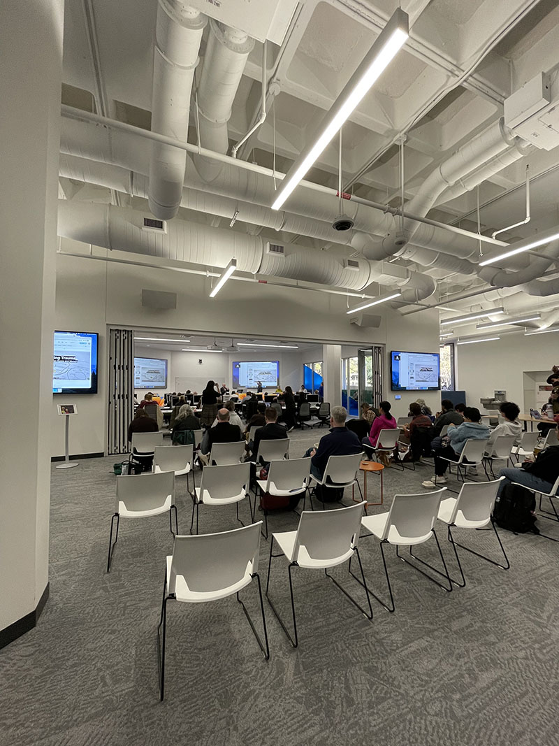
In a recent event hosted at the Scholars Lab in the Perry-Castañeda Library, the Institute for Historical Studies (IHS) in the Department of History at the University of Texas at Austin delved into the complexities of mapping trauma in a workshop titled “Mapping Trauma: A Workshop on Space and Memory.”

This event, part of IHS’s exploration of the theme “Experiencing Place: Interrogating Spatial Dimensions of the Human Past,” brought together scholars and practitioners to discuss the limitations of traditional Geographic Information Systems (GIS) in capturing the nuances of human experiences, particularly in contexts of trauma such as the Holocaust.

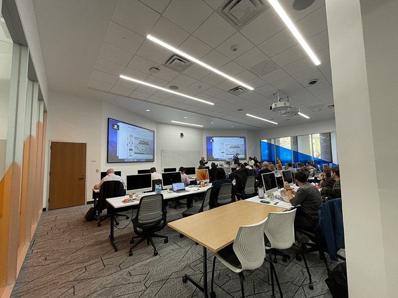
The keynote speakers, Dr. Anne Kelly Knowles and Levi Westerveld, presented insights gleaned from their extensive research collaboration spanning a decade. Knowles, a McBride Professor of History at the University of Maine and co-founder of the Holocaust Geographies Collaborative, along with Westerveld, a Senior Engineer & Geographer at the Norwegian Coastal Authority, offered innovative perspectives on mapping trauma, drawing from their work with Holocaust survivor testimonies.

Traditional GIS methodologies, while effective for certain types of mapping, often struggle to represent the complexities of human experiences. Knowles and Westerveld’s research challenges the default Cartesian grid approach of GIS, advocating for alternative mapping techniques that accommodate the fragmented and subjective nature of traumatic memories. They emphasized the importance of incorporating qualitative data and subjective narratives into geospatial practices, moving beyond mere coordinates to capture the emotional and psychological dimensions of historical events.

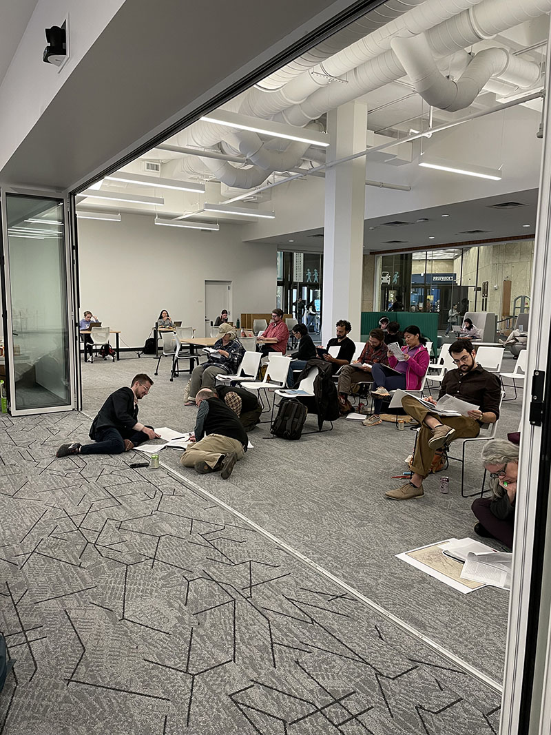
The workshop explored various strategies for mapping traumatic memory, including the concept of “mental maps” and inductive visualization techniques. Participants engaged in hands-on exercises, analyzing survivor testimonies and experimenting with visualization tools to uncover hidden spatial narratives. Through these activities, attendees gained a deeper understanding of the challenges inherent in representing trauma spatially and the creative possibilities for addressing them.

The event offered a thought-provoking exploration of the intersection between geography, memory, and trauma. By challenging traditional GIS approaches and embracing alternative mapping techniques, scholars are in a better position to uncover deeper insights into historical experiences and enrich understanding of the human past.

Learn more about IHS programs, including those under the “Experiencing Place” research theme this year, by following @utaustinihs and joining the mailing list here.

Watch video of the event.

GIS Day in Review

On November 15th, members of the campus community gathered in the new Scholars Lab in the Perry-Castañeda Library and on Zoom to celebrate UT GIS Day 2023 through a series of hybrid-format events which highlighted the diverse ways in which geographic information system (GIS) software and related geospatial technologies are being utilized in research and learning here at UT Austin.  This year’s event marked five consecutive years of UT GIS Day and set a new record for attendance and participation. Our UT GIS Day 2023 theme of “Celebrating Open Geospatial Science” was woven throughout the day’s events and allowed us to explore the work being done in this area here at UT.

The day’s events began at noon with a drone demonstration from Markus Hogue (UT Campus Geospatial Assets) on the PCL Plaza and continued into the evening. In line with this year’s theme, invited experts Caitlin Carter (HELIOS) and Kevin Worthington (Colorado State University) highlighted the significance of open scholarship and reproducibility in geospatial science.

The UT Libraries and UT Open Source Program Office collaboratively organized a workshop focused on reproducible geospatial workflows using open source software. A panel of GIS professionals from the local community provided insight into the diversity of career paths that are open to students interested in working with geographic information systems. For the first time, UT GIS Day included a poster competition that featured awards for the top three student participants (1st – Brody Manquen, 2nd – Andrew Wang, 3rd – Chris Ploetz) in recognition of their exemplary poster design and Open Science Recognition Awards for all student participants who highlighted open geospatial science practices. Following the competition, the 2023 UT Libraries Map & Geospatial Collections Explorer Fellowship was awarded to our student and faculty recipients—Ethan Plevak and Dr. Elizabeth Catlos. Our keynote speaker, Dr. Qiusheng Wu (University of Tennessee) capped off our series of events with a fascinating talk that highlighted the power of open geospatial data and open source remote sensing software. 

Our 2023 UT GIS Day was truly a memorable celebration of all things geospatial at UT Austin and would not have been possible without the contributions of presenters, organizers, and attendees. The collaboration between the UT Libraries, UT Campus Geospatial Assets, UT Open Source Program Office, and Department of Geography and the Environment resulted in a diverse series of events that showcased the innovative applications of geospatial technologies here on campus and beyond. Hopefully the learning and networking opportunities provided by this year’s UT GIS Day events will contribute additional momentum to open geospatial science and GIS driven research here at UT Austin.