“Who does not have etched in the mind images of countries and of the world based on maps?”
– John Noble Wilford, The Mapmakers
It’s certainly the case that our perception of the world’s geography is rooted in our experience with the maps we’ve encountered, developed and designed over eons by both hand and machine. Even though we may have become increasingly reliant on disembodied voices to lead us where we need to go, the archetype for understanding the concept of location which we carry in our minds was instilled by the road guides of family vacations, massive retractable world maps of the elementary classroom and spinning globes of our past.
Equal parts art and science, maps are one of the most effective methods for conveying information visually in virtually any field of inquiry. In the miniaturization of space that is necessary to explain vast areas on a personal scale is a documentation of history and of change; of character and personality, value and values; of plant and animal; of health and illness, feast and famine; of motion and stasis; and of nearly any aspect of life and place that can be categorized for better understanding the world in which we live.

And that, perhaps, is what makes the map collection at the Perry-Castañeda Library so incredibly valuable. Its scope in both size and subject is immense enough to maintain an intrinsic value — both as historical artifact and as a tool of modern research and reference — that goes unaffected by the passage of time.
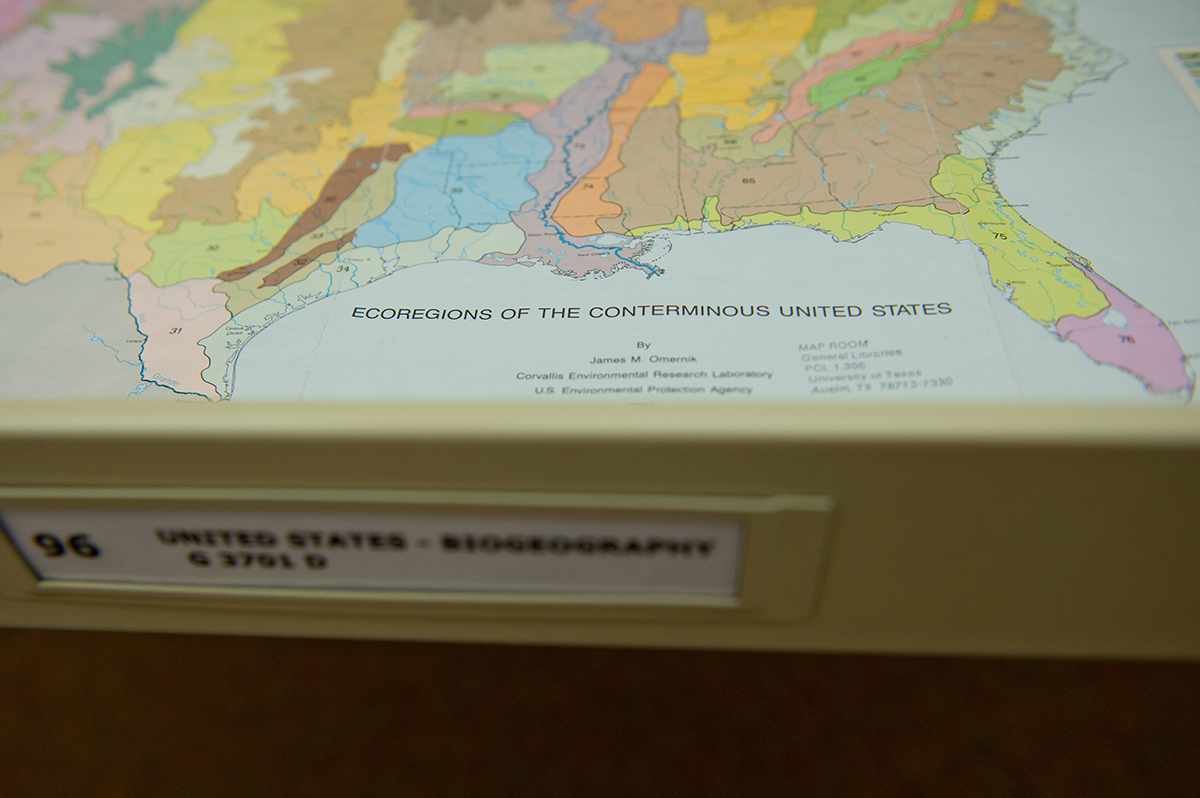
Though the Perry-Castañeda Library Map Collection is considered a general collection, it’s anything but. Residing on the first floor of the university’s flagship library, it features more than 250,000 cartographic items representing all areas of the world. And its online component is not only one of the most highly visited websites at the university — garnering nearly 8 million visits annually — but is in the top ten most popular results for a Google search of “maps.”
The university began informally collecting maps previously — at the General Libraries, but also through efforts at the Geology Library, the Barker Texas History Center and the Benson Latin American Collection — but it wasn’t until the PCL opened in 1977 that the Map Collection was established on the first floor of the building as an independent collection.
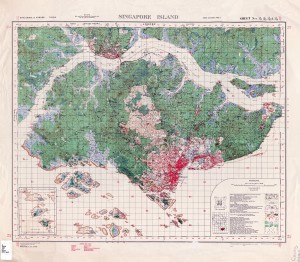
The core of the collection emerged with the acquisition of the U.S. Geological Survey topographic maps, which date from the late 19th century and cover the entire United States, U.S. territories and other parts of the world where governments contracted U.S.G.S. for mapping, such as Saudi Arabia.

Since then, the collection has grown to feature military maps from various conflicts around the world, government nautical and aeronautical charts, topographic collections, city maps representing over 5,000 cities around the world, aerospace navigation charts, data and demographic maps, and just about every other conceivable type of physical cartography.
The collection also houses an extensive collection of atlases, from a street atlas of El Paso to the National Atlas of India. The library also purchases commercial and foreign government-issued topographic map series, country, city and thematic maps. The collection also includes a small but popular collection of plastic raised-relief maps and globes, not only of earth, but of the Moon, planets and other various celestial bodies.
Most of the maps in the collection date from 1900 to the present, and the collection is constantly being updated with newer materials, and complements a number of significant historical map collections housed on campus in the Center for American History (historical maps of Texas), the Benson Latin American Collection, the Harry Ransom Center and the Walter Geology Library.
Paul Rascoe — the Libraries’ Documents, Maps, & Electronic Info Services Librarian — has been the driving force behind the collection at PCL, especially in the formulation and execution of the collection’s online component. And it hasn’t hurt to have the planets align, at times.
“In 1994, we decided that we were going to scan maps,” says Rascoe. “We had a Macintosh computer and a Mac scanner, which I believe cost $100. We had a plan to put them in sort of a web menuing system called Gopher, but fortunately, simultaneously with our wanting to put maps online, the first web browser was introduced in that year.” Continue reading You Are Everywhere – The PCL Map Collection

