
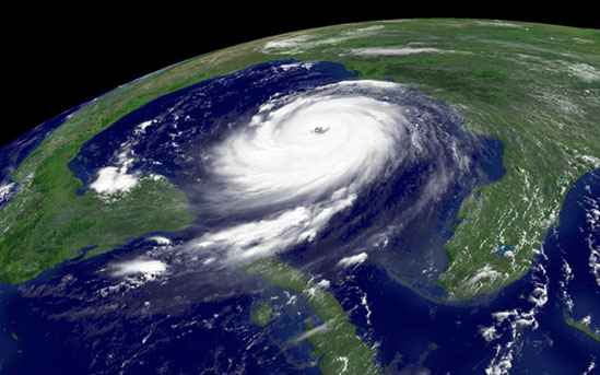
It’s hard to believe it has already been five years since Hurricane Katrina nearly leveled the Big Easy.
Next Tuesday (8/31), the Libraries will host a novel event to mark the occasion of the fifth anniversary and reflect on the costliest natural disaster in American history.
The interactive program and exhibit – Hurricane Katrina: 5 Years Later – will take place in the Map Collection on the first floor of the PCL, and will feature relevant Libraries resources like maps, books and video along with presentations by both faculty and experts familiar with the past and current state of the affected areas.
Speakers scheduled to participate include, Dr. Robert Gilbert, Department of Civil, Architectural and Environmental Engineering; Joyce Shaw, Head Librarian, Gunter Library, Gulf Coast Research Laboratory, University of Southern Mississippi (via Skype); Mr. Troy Kimmel, Jr., Department of Geography; and Dr. James McClelland, Marine Science Institute and Environmental Science Institute (via Skype).
The event is free and open to the public, and takes place from 11:30am-1:30pm, so please drop by, have some New Orleans-style café au lait and join in the discussion.
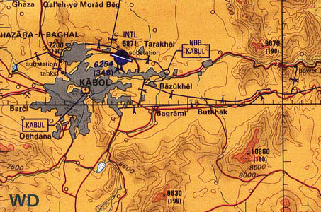 The Perry-Castañeda Library Map Collection gets a lot of use.